Book Review: The Historical Atlas of New York City
The Historical Atlas of New York City by Eric Homberger, published by Holt, 1998. Paperback, 192 pages. (Amazon)
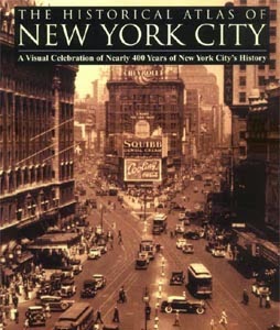
Similar to Mayer and Wade's Chicago: Growth of A Metropolis, Homberger's book tells the story of a great city through images, photographs, maps and diagrams. Subtitled A Visual Celebration of Nearly 400 Year's of New York City's History, the book starts in 1609 when Henry Hudson was hired by the Dutch East India Company to find a northern route to China, and ends in 1994 with the writer lamenting over Broadway's decline but optimistic for its future. Each chapter in between deals with a roughly 50-year span of time, defining the important events for the city in the respective period and then using primarily maps and diagrams to elucidate particular aspects. It is through these graphics - with Alice Hudson's cartographic assistance - that the book finds its saving grace, as the book is not as thorough historically, as in Burrow and Wallace's pre-1900 account Gotham, or physically, as in Stern and others' New York 1880, 1930 and 1960 tomes. Those books have their place, as does Homberger's slimmer "atlas", which uses maps and other diagrams to add a perspective and understanding that cannot be grasped by words and photographs alone.

Similar to Mayer and Wade's Chicago: Growth of A Metropolis, Homberger's book tells the story of a great city through images, photographs, maps and diagrams. Subtitled A Visual Celebration of Nearly 400 Year's of New York City's History, the book starts in 1609 when Henry Hudson was hired by the Dutch East India Company to find a northern route to China, and ends in 1994 with the writer lamenting over Broadway's decline but optimistic for its future. Each chapter in between deals with a roughly 50-year span of time, defining the important events for the city in the respective period and then using primarily maps and diagrams to elucidate particular aspects. It is through these graphics - with Alice Hudson's cartographic assistance - that the book finds its saving grace, as the book is not as thorough historically, as in Burrow and Wallace's pre-1900 account Gotham, or physically, as in Stern and others' New York 1880, 1930 and 1960 tomes. Those books have their place, as does Homberger's slimmer "atlas", which uses maps and other diagrams to add a perspective and understanding that cannot be grasped by words and photographs alone.
Comments
Post a Comment
Comments are moderated for spam.